Lake District Mountain Skills (1 Day)
A practical 1-day mountain skills course in the Lake District for walkers who want more confidence with navigation, route choice, mountain safety and independent decision-making on the fells.
- Meet in Keswick
- Beginner Friendly
- Navigation & Hill Safety
- £110 Per Person
A practical introduction to mountain skills in the Lake District
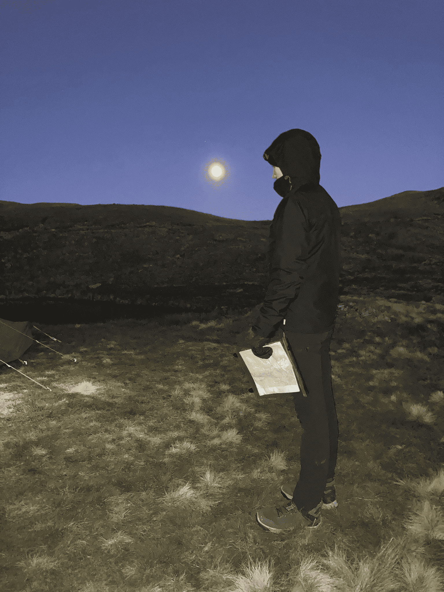
Our 1-day Lake District Mountain Skills course meets in Keswick, giving quick access to excellent training terrain on the Lakeland fells. That flexibility means we can choose suitable ground for the group and adapt to the day’s weather, visibility and learning priorities.
This course is designed for walkers who want a solid grounding in mountain navigation and hill safety without committing to a longer programme straight away. The focus is practical rather than classroom-based, helping you read the map better, understand the ground more clearly and make stronger decisions on your own future hill days.
It works especially well for beginners, developing hillwalkers and anyone wanting a confidence-building refresher before moving on to more committing mountain routes or longer training courses.
Course facts
- ✓ Location: Keswick, Lake District
- ✓ Duration: 1 day
- ✓ Ratio: Maximum 1:6 per instructor
- ✓ Focus: Navigation, planning and hill safety
- ✓ Level: Beginner friendly
- ✓ Bonus: 15% Cotswold / Snow+Rock discount
What you’ll learn
A practical one-day introduction to mountain navigation and hill safety on Lakeland terrain, designed to give you skills you can use straight away.
Map reading & terrain awareness
- Map scales, symbols and contour lines
- Orientating the map to the ground
- Recognising ridges, spurs and re-entrants
- Building a clearer picture of where you are
Compass & simple navigation techniques
- Taking simple bearings
- Pacing, timing and distance judgement
- Using handrails, attack points and collecting features
- Introduction to digital mapping and GPX tools
Planning, weather & mountain safety
- Reading mountain weather forecasts
- Choosing suitable routes for the day
- Common hill hazards and how to manage them
- Emergency procedures and decision-making
Who this course is for
This 1-day course is aimed at beginners and developing hillwalkers who want to feel more capable in the mountains. You do not need advanced experience, but you should already enjoy walking and want to improve your judgement, navigation confidence and hill craft.
- Walkers beginning to move beyond obvious paths
- People wanting to rely less on phones and apps
- Anyone preparing for bigger mountain days
- Those wanting a practical and confidence-building refresher
Progression & accredited pathways
This 1-day course works well as a stand-alone skills boost, but it is also a useful first step into our longer Mountain Skills programmes. If you want more time for deeper navigation work, poor visibility practice and fuller Mountain Training progression, the 2-day and 4-day options are the natural next step.
Dates & booking
Live availability and booking are shown below. Price includes expert instruction and the Peak Adventures 15% gear discount code for our retail partners.
Before you book
- Meet point: Keswick (full joining details sent after booking)
- Course times: approximately 09:00 – 17:00
- Kit: hill clothing, waterproofs and sturdy boots required
- Suitable for: beginners and developing hillwalkers
Cairngorms Mountain Skills Courses
Prefer the scale and terrain of the Scottish Highlands? We also run Mountain Skills courses in the Cairngorms, based from Aviemore, with excellent open ground for navigation training and mountain travel.
Cairngorms Mountain Skills (1 Day)
A practical introduction to navigation and hill skills in the Cairngorms.
View course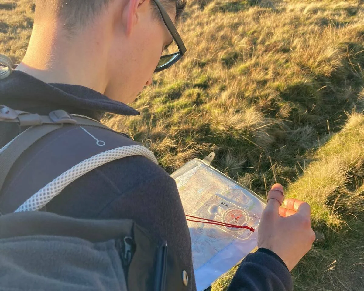
Cairngorms Mountain Skills (3 Day)
A deeper three-day programme covering navigation, planning and mountain safety.
View course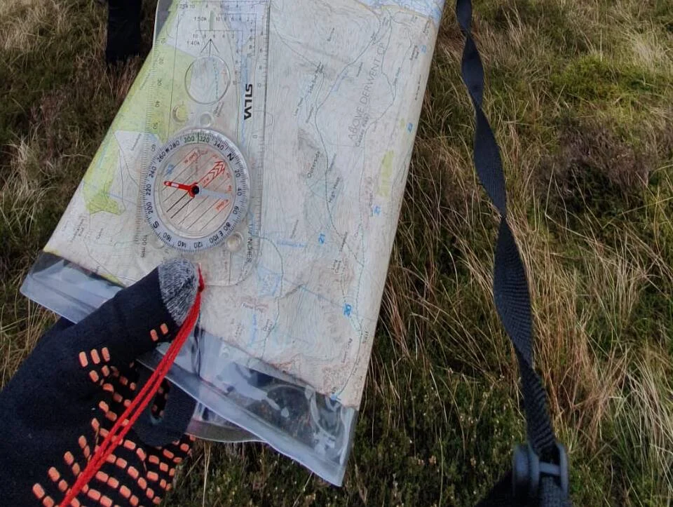
Cairngorms Mountain Skills (4 Day)
A full Mountain Skills programme in classic Scottish mountain terrain.
View course